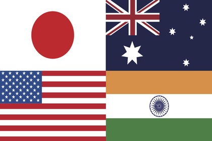
CG Courtesy: USGS/Wikimedia
6 August 2020

Geospatial shutter control for India

The recent use of geospatial analyses by Indian social and mainstream media for near real-time defence and military intelligence in Ladakh has been made possible because of the lower cost of earth-observation satellite construction, and thereby, easy access to satellite imagery on the internet. While independent analysis is useful, the same intelligence can be also used against the interests of a sovereign nation by an adversary, especially border imagery. India must find innovative methods to reduce this vulnerability of commercial satellite imagery.

2-8-18 CableMap-02 - Copy Courtesy: Gateway House
2 August 2018

Version 2: Mapping China’s global telecom empire

This version of the Gateway House Map on China’s Expanding Global Telecom Empire identifies some more telecommunication assets -- optic-fibre and satellite ground stations -- that Beijing is working on in South and Central America, Africa, Myanmar, the Indian Ocean Region and mainland China besides the existing ones, such as the Pakistan East Africa Cable Express (PEACE). It shows the direction China’s investment is taking, its diplomatic overtures and the larger geopolitical implications of its growing telecom empire

28912263963_0b75893744_h Courtesy: MEA/ Flickr
14 February 2017

Indo-Pacific: a scenario of possibilities

The Indo-Pacific region is home to some of the largest and most rapidly growing economies as also powerful military forces. Nuclear threats, international terrorism and climate change are some of the issues that define the region. Uncertainty dogs relations among the four nations in the top league—U.S., China, India and Japan—but what is emerging is a hawkish, policy stance from the U.S. as opposed to an isolationist outlook apprehended earlier